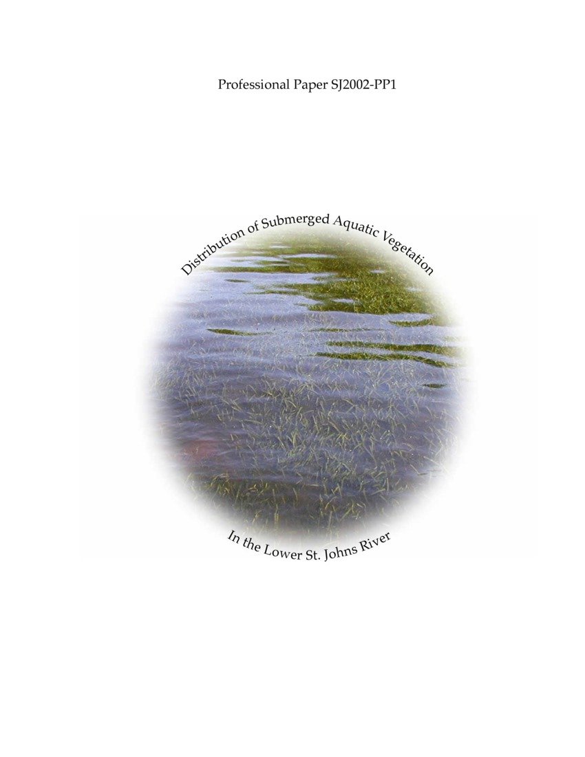
Distribution of Submerged Aquatic Vegetation in the Lower St. Johns River, 1998 Atlas
Beginning in 1998, the lower St. Johns River, Crescent Lake, Lake George, and Doctors Lake were surveyed for submerged aquatic vegetation (SAV) distribution. Three methods were used: (1) aerial photography interpretation, (2) hydroacoustic mapping, and (3) ground-truth transects, used to verify the accuracy of the other two methods. Each method provided some degree of unique information (e.g., plant density from hydroacoustics and species composition from ground-truthing). However, only the calculated spatial extent from each method will be discussed to facilitate comparison among the methods and to assess accuracy. Hydroacoustic mapping estimates were generally biased toward overestimation compared to ground-truth data. Conversely, aerial photography interpretation was biased toward underestimation compared to ground-truth data. SAV spatial extent estimates were 4,822 acres for hydroacoustic mapping, 1,494 acres for aerial photography, and 1,610 acres for ground-truth interpolations. Based on these preliminary estimates, remote sensing data did not agree well with the ground-truth estimates. Refinements to the remote sensing methods will be evaluated to improve accuracy.
Publisher - St. Johns River Water Management District (SJRWMD)
Subjects - Submerged Aquatic Vegetation (SAV); Lower St. Johns River
Citation: Dobberfuhl DR. 2002. Distribution of Submerged Aquatic Vegetation in the Lower St. Johns River, 1998 Atlas. Palatka (FL): St. Johns River Water Management District (SJRWMD); SJ2002-PP1. 46 pp http://www.sjrwmd.com/technicalreports/pdfs/PP/SJ2002-PP1.pdf