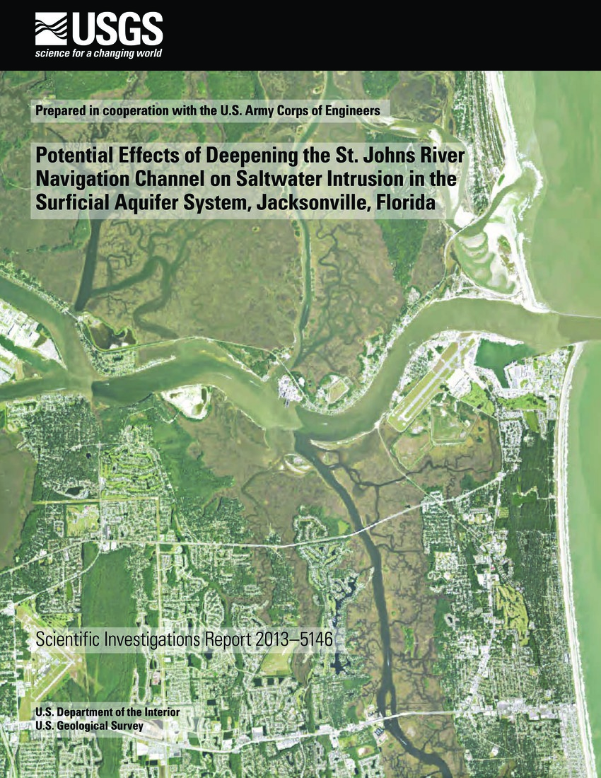
Potential Effects of Deepening the St. Johns River Navigation Channel on Saltwater Intrusion in the Surficial Aquifer System, Jacksonville, Florida
The U.S. Army Corps of Engineers (USACE) has proposed dredging a 13-mile reach of the St. Johns River navigation channel in Jacksonville, Florida, deepening it to depths between 50 and 54 feet below North American Vertical Datum of 1988. The dredging operation will remove about 10 feet of sediments from the surficial aquifer system, including limestone in some locations. The limestone unit, which is in the lowermost part of the surficial aquifer system, supplies water to domestic wells in the Jacksonville area. Because of density-driven hydrodynamics of the St. Johns River, saline water from the Atlantic Ocean travels upstream as a saltwater “wedge” along the bottom of the channel, where the limestone is most likely to be exposed by the proposed dredging. ...
Publisher - U.S. Department of the Interior (USDOI) and U.S. Geological Survey (USGS)
Subjects - Dredging; Jacksonville Port
Collection: Section 2: Water Quality (2013)
Citation: Bellino JC, Spechler RM. 2013. Potential Effects of Deepening the St. Johns River Navigation Channel on Saltwater Intrusion in the Surficial Aquifer System, Jacksonville, Florida. Reston (VA): U.S. Department of the Interior (USDOI) and U.S. Geological Survey (USGS); Scientific Investigations Report 2013-5146. 46 pp http://pubs.er.usgs.gov/publication/sir20135146
